About Us
Our cities and rural communities are expanding faster than ever, with large aging and immigrant populations. There is a large demand on our health care system to provide appropriate, timely, safe, and culturally sensitive care. Technological advances in computing and big data have created new opportunities to understand and influence population-level patterns in health. They have also brought new challenges of privacy and scaling cultural context of space and place, often lost in quantitative big-data analyses.
It is an incredible time to be exploring the intersection of health and geography. We can integrate foundational work from the last several decades with new innovations to develop tools and concepts to understand geographic disparities in health and health services across multiple scales within neighbourhoods to across provinces and countries. An awareness of contextual space and place can offer a mechanism to reduce disparities in resource allocation from a government and policy perspective, and also provides advocacy for minority groups, who have struggled to seek the understanding and representation they deserve and require. Interdisciplinary work in geography and health is essential to understand the geographical context of health and health services, with the goal of evidence-based health policy, equitable resource allocation, and a better quality of life regardless of location.
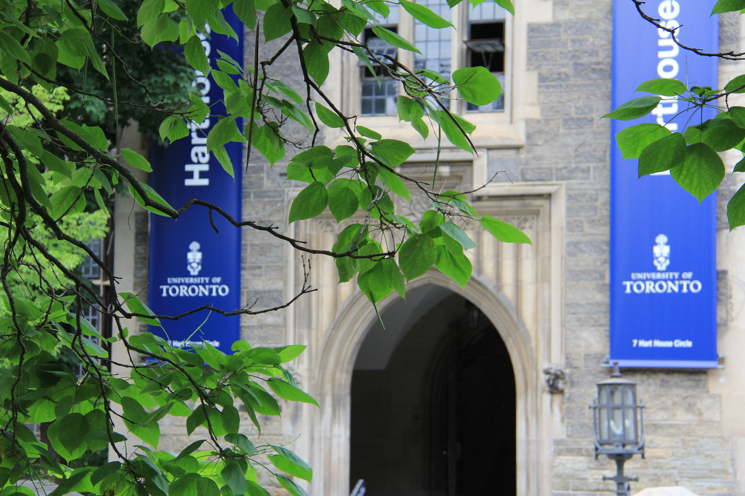
The tools and concepts required for health-geography research are unique, complex, and ever-changing. As students, we must choose a discipline to master for our research, sometimes leaving little time for inter-disciplinary work. The GeoHealth Network exists to bridge this knowledge gap. We are a community of dedicated graduate students at the University of Toronto, bringing you curated health-geography content. We will be offering GIS skills workshops aimed towards first-time users, networking events, monthly working group meetings, and an annual conference/workshop symposium. Join our conversation on topics including geospatial modeling and statistics, health cartography, demographics, public health nutrition, physical activity, health services access and planning, emergency medicine, rural health, Indigenous health, and more.
Happy mapping,
GeoHealth Network
Acknowledgment of Traditional Land
We wish to acknowledge this land on which the University of Toronto operates. For thousands of years, it has been the traditional land of the Huron-Wendat, the Seneca and, most recently, the Mississaugas of the Credit River. As settlers in Turtle Island, we directly benefit from the colonization and genocide of the indigenous people of this land. Today, this meeting place is still the home to many Indigenous people from across Turtle Island. We are grateful to have the opportunity to exist on this land and we must constantly engage in acts of decolonization.

