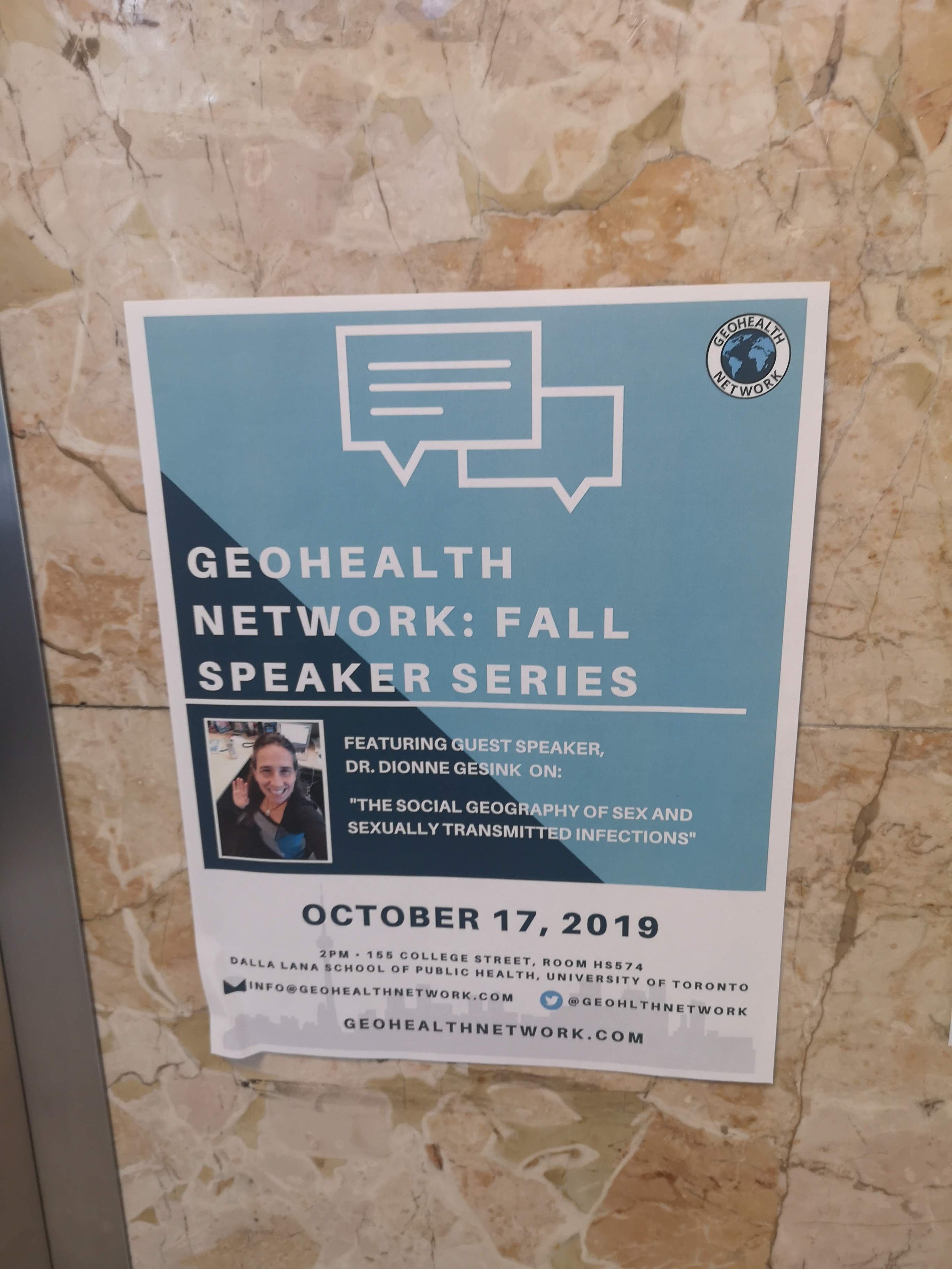
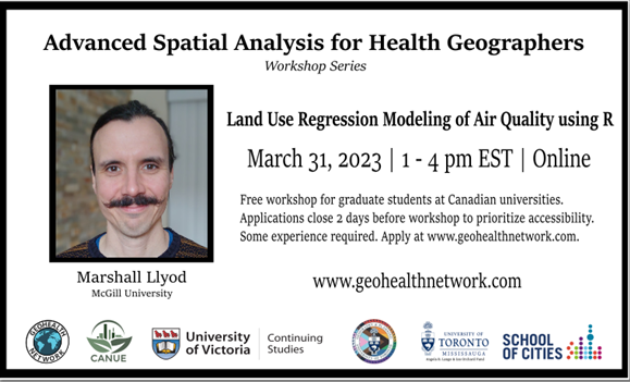
Register here
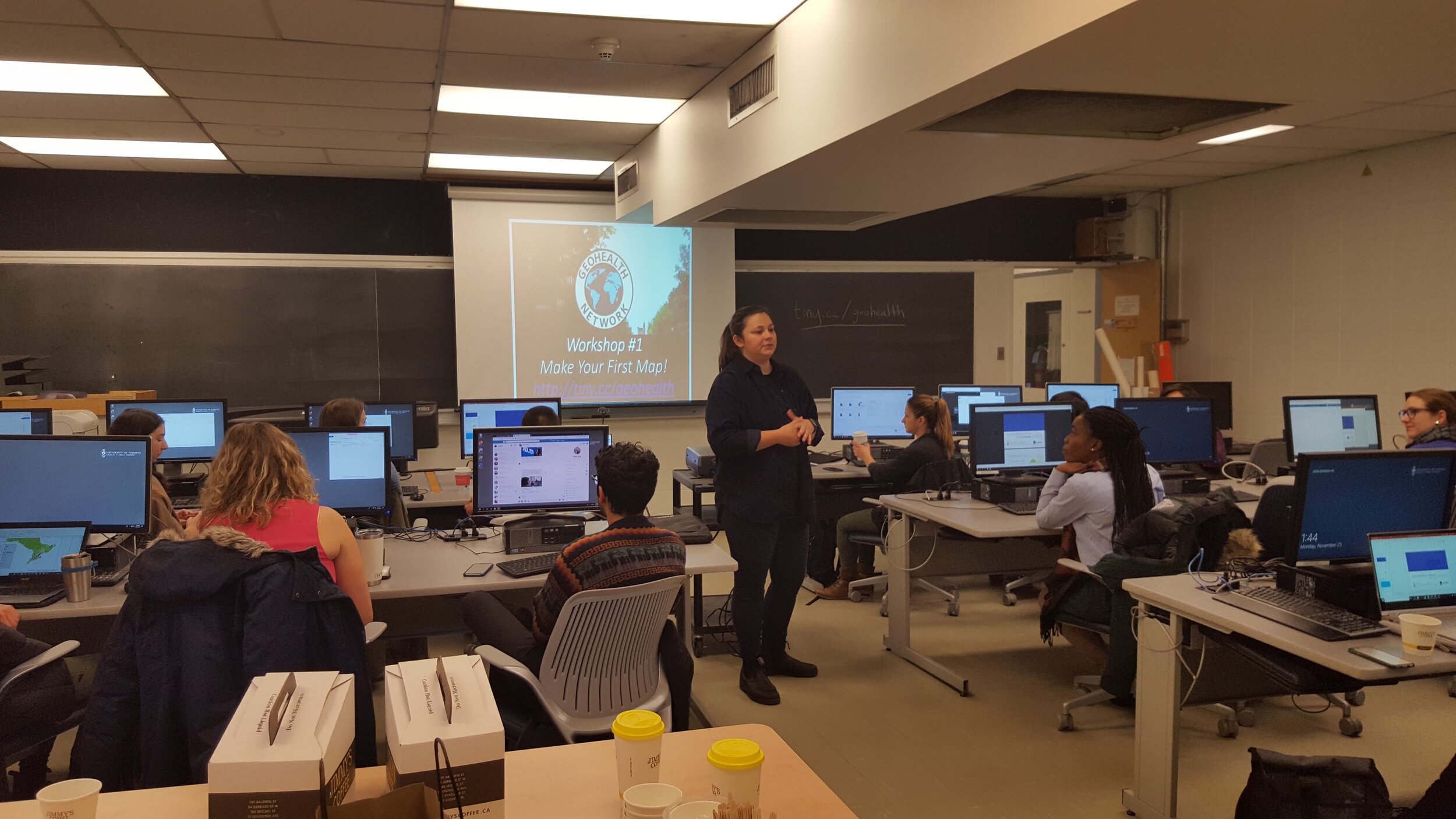
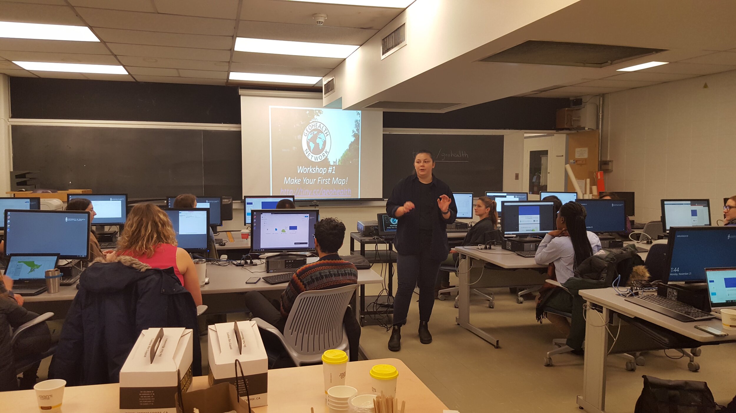
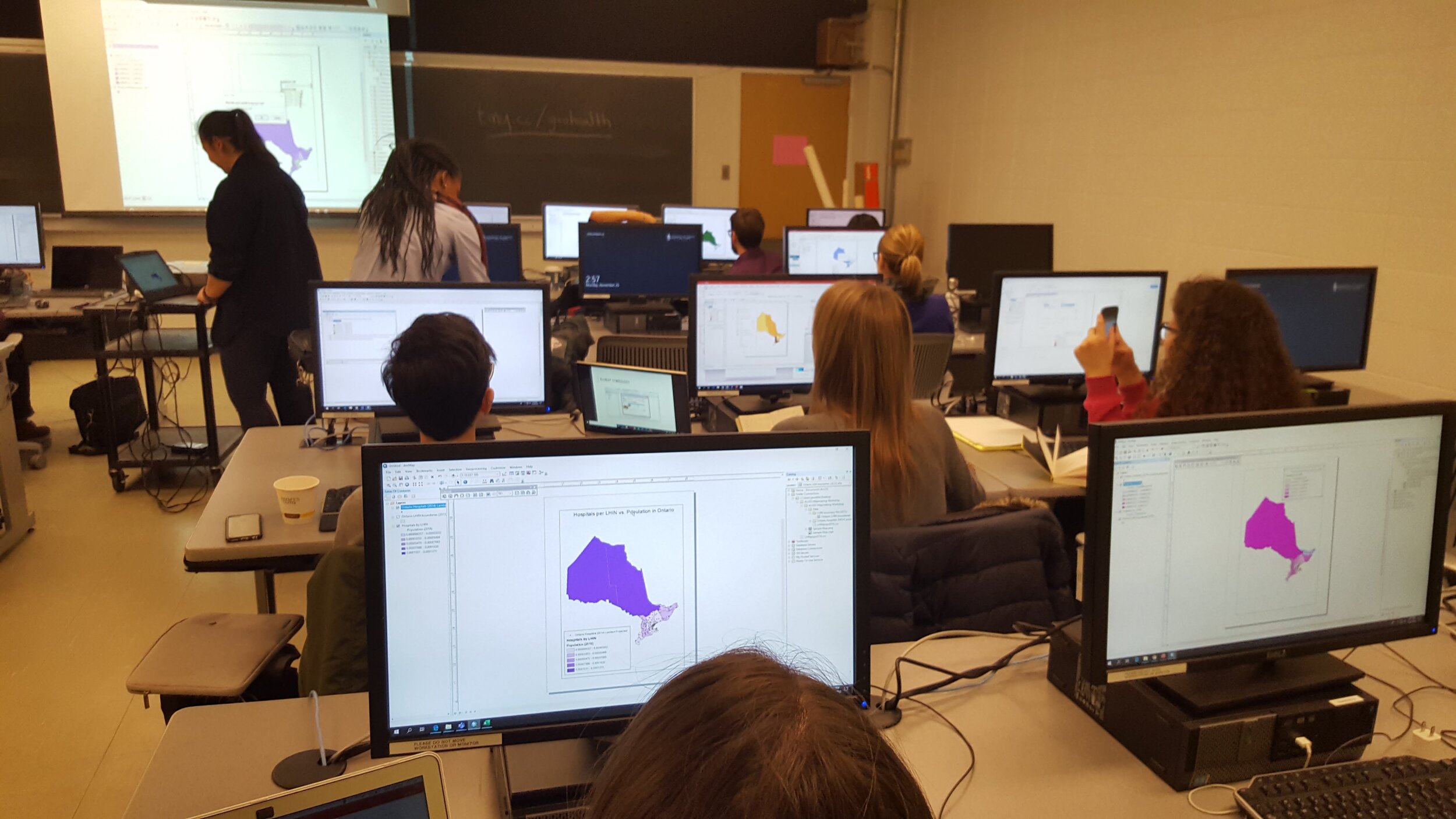
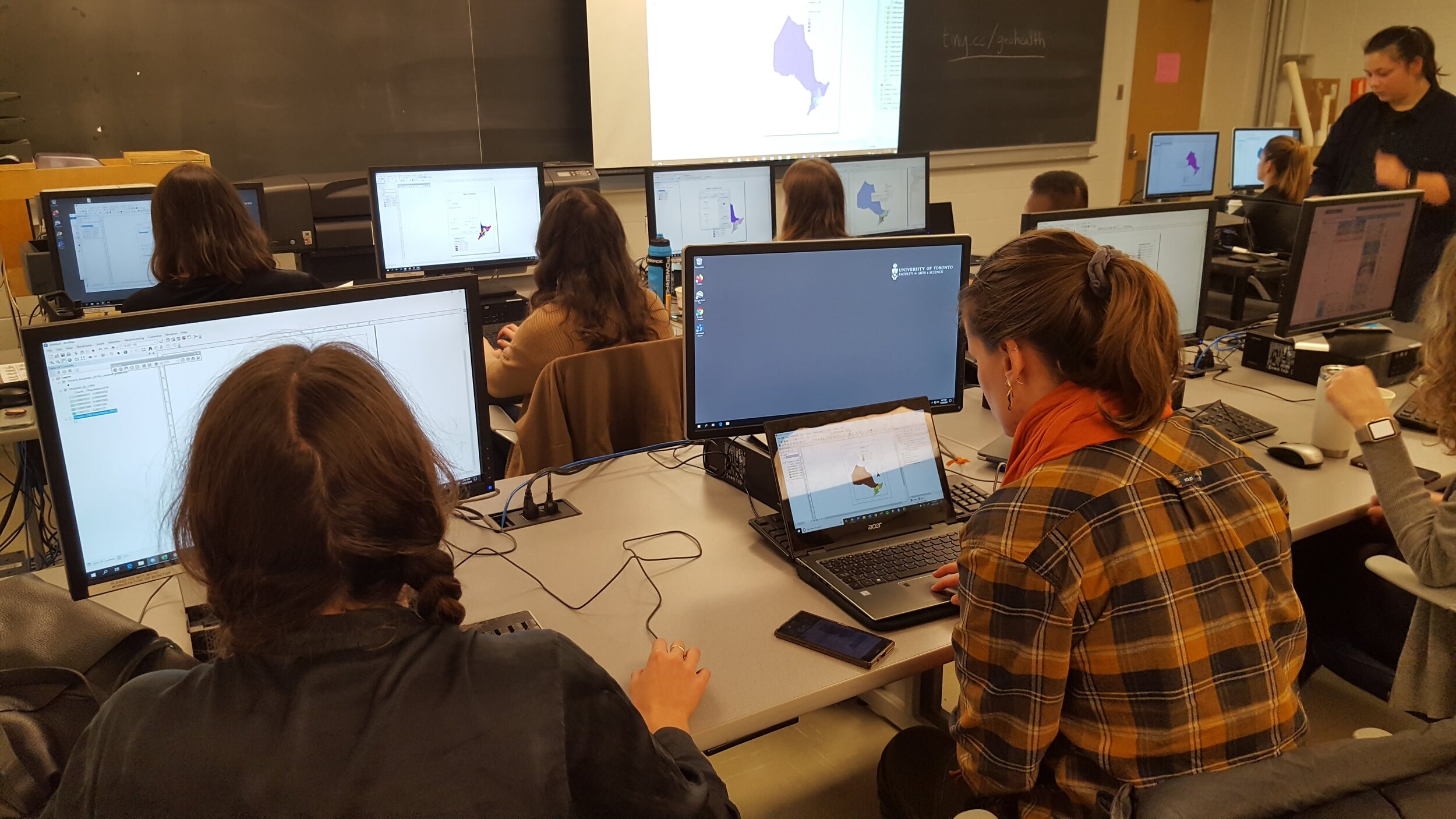
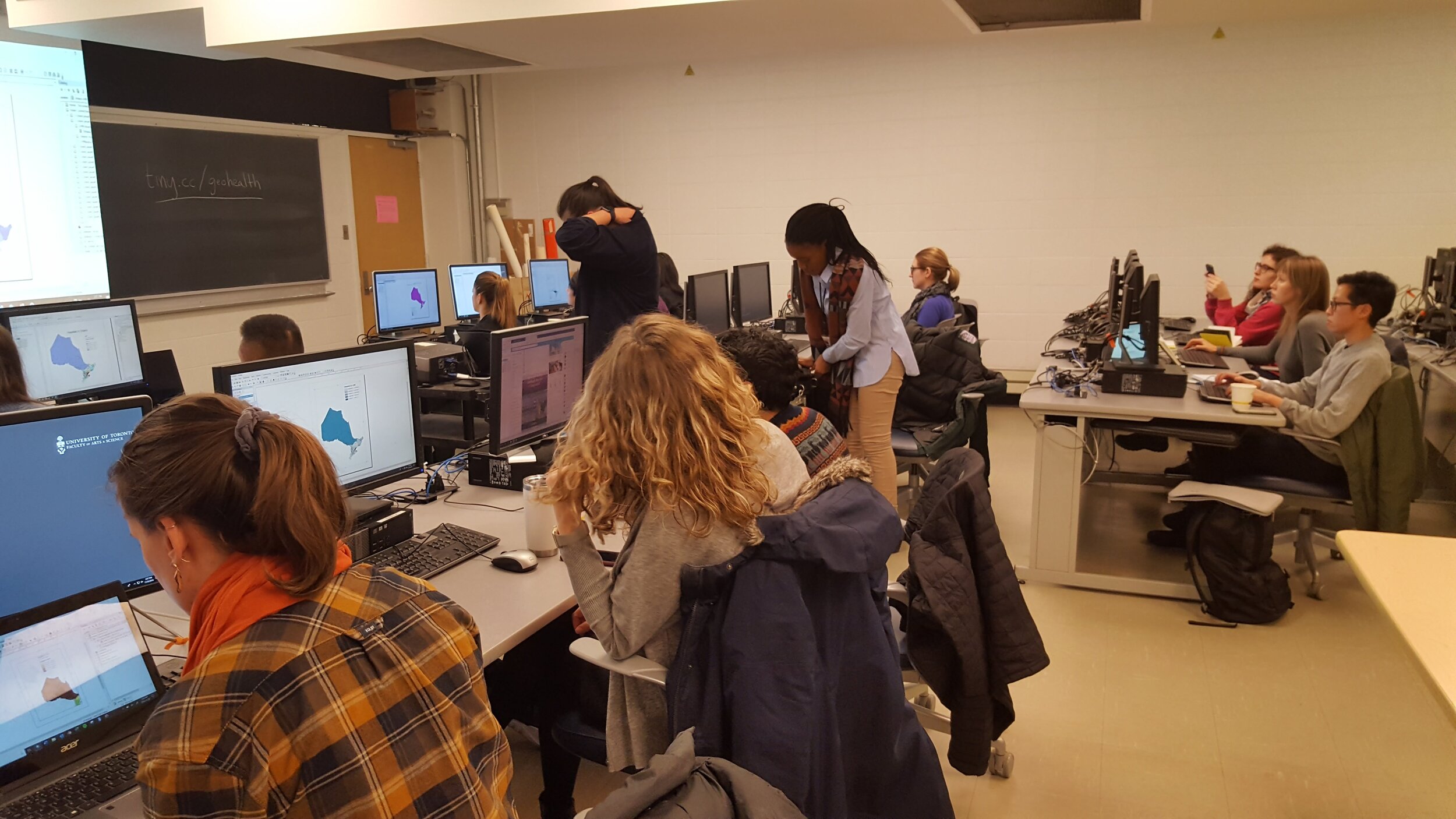
GeoHealth Network is thrilled to partner with The Canadian Urban Environmental Health Research Consortium (CANUE) to bring you a seminar series! This series will feature students and graduates across Canada who have used CANUE datasets to advance understandings of the interactions between human health and our natural and built environments. Join us as we learn about the comprehensive range of linkable national urban exposure metrics available for health geography research and their direct applications. We will also include time for speakers to share their education and career journeys, and answer questions about their research.
Adele (Balram) Lundy is a Senior Scientific Advisor with the New Brunswick Department of Environment and Local Government with over ten years of experience in environmental epidemiology, biostatistics, GIS, and population health. She holds a Master of Public Health (Faculty of Medicine, Memorial University of Newfoundland). Adele completed a Professional Certificate in Population Health Data Analysis from the University of Victoria, British Columbia.
Dan Crouse is a health geographer and environmental epidemiologist who specializes in exposure assessment and environmental determinants of health. He holds a PhD in health geography from McGill University, and a Master’s in environmental studies from the University of Waterloo.
A large body of evidence has demonstrated adverse affects on health associated with exposure toair pollution. Conversely, health benefits have been observed with exposure to nature and greenspace. The objective of the presentation is to investigate the role of residential greenness inmodifying associations between long-term exposures to PM2.5 and mortality.
Our 4th seminar will take place on May 21st from 1:00 - 2:00 pm EST on zoom. Register here
One lucky student will walk away with $100 cash prize!
Crouse, Dan L., Lauren Pinault, Adele Balram, Michael Brauer, Richard T. Burnett, Randall V. Martin, Aaron van Donkelaar, Paul J. Villeneuve, and Scott Weichenthal. ‘Complex Relationships between Greenness, Air Pollution, and Mortality in a Population-Based Canadian Cohort’. Environment International 128 (1 July 2019): 292–300. https://doi.org/10.1016/j.envint.2019.04.047.
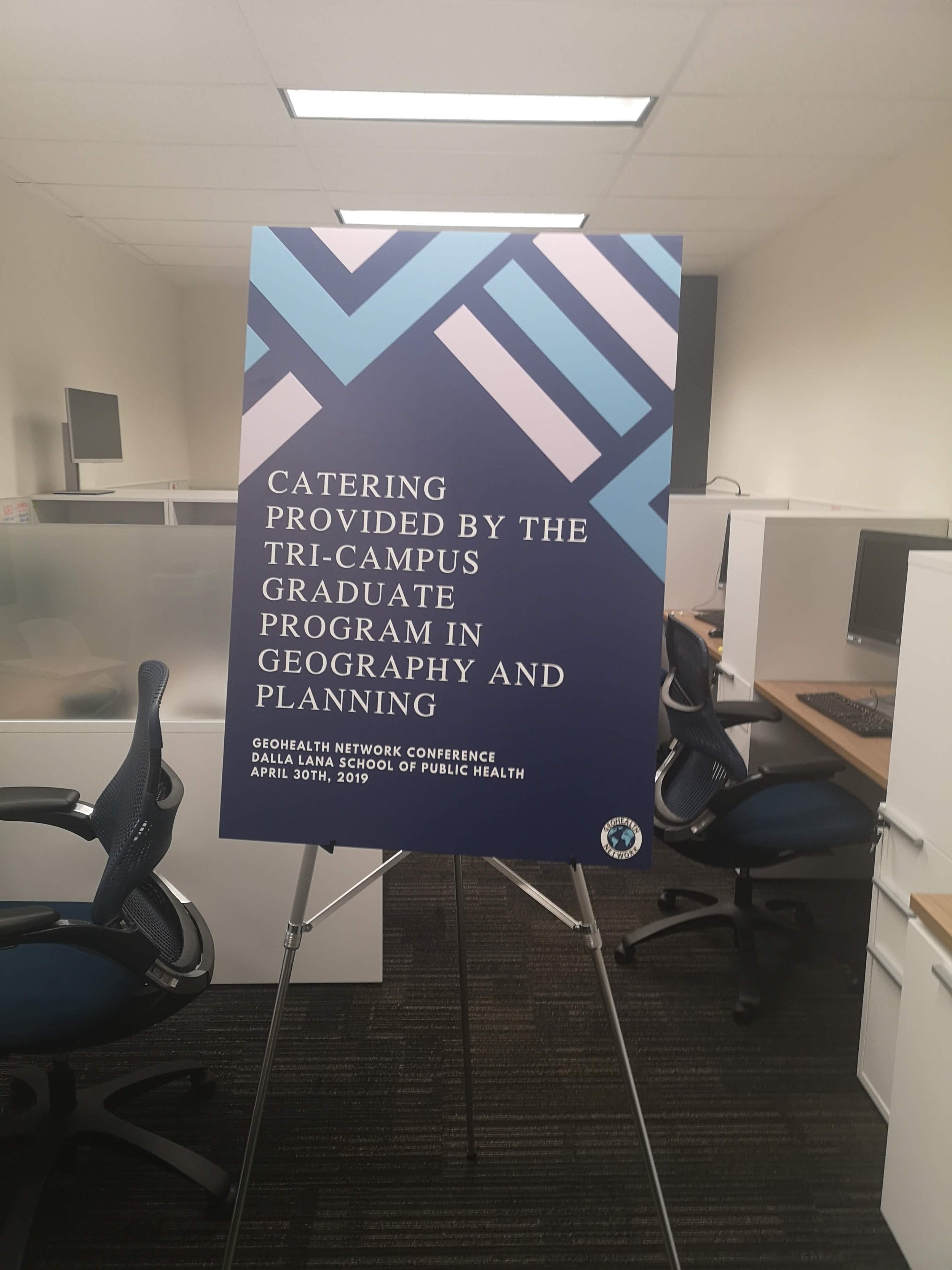
Thanks to generous donations and contributions from CANUE, University of Toronto Dept of Geography and Planning, and University of Toronto School of Cities!